
'A true gentleman': The late James Johnston, of Shannon
Search
06 Apr 2026
Please allow ads as they help fund our trusted local news content.
Kindly add us to your ad blocker whitelist.
If you want further access to Ireland's best local journalism, consider contributing and/or subscribing to our free daily Newsletter .
Support our mission and join our community now.
To continue reading this article, you can subscribe for as little as €0.50 per week which will also give you access to all of our premium content and archived articles!
Alternatively, you can pay €0.50 per article, capped at €1 per day.
Thank you for supporting Ireland's best local journalism!


MET Éireann is warning of the possibility of 'damaging gusts' as Storm Dudley makes its way across Ireland later this week.
A 24-hour status yellow wind warning for Ireland, which has been issued by the forecaster, will take effect from 12midday on Wednesday.
"Westerly winds associated with Storm Dudley will reach mean speeds of between 50km/h and 65km/h with damaging gusts of 80km/h to 110km/h, stronger on exposed coasts and on high ground," states the warning which will remain in place until midday on Thursday.
#StormDudley will bring a spell of wet & very windy weather tomorrow.⚠️A yellow wind warning is in place nationwide from noon Wednesday until noon Thurs, with the strongest winds expected in coastal areas and on high ground.Large coastal waves & some coastal flooding possible pic.twitter.com/iR12qloSRK
— Met Éireann (@MetEireann) February 15, 2022
Separately, a weather advisory has been issued for Limerick and the rest of the country ahead of the arrival of another storm - Eunice - later on Thursday or early on Friday.
"It has the potential to be a multi-hazard and disruptive event with damaging winds, heavy rain and snow possible," states the advisory which is likely to result in warnings being issued tomorrow.
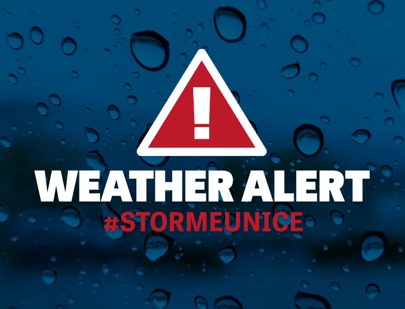
"Current indications are that the strongest winds are most likely to affect southern counties and the most significant falls of snow are most likely over central and northern parts of the country with locally blizzard conditions possible for a time and disruption to travel," adds the advisory.

Subscribe or register today to discover more from DonegalLive.ie
Buy the e-paper of the Donegal Democrat, Donegal People's Press, Donegal Post and Inish Times here for instant access to Donegal's premier news titles.
Keep up with the latest news from Donegal with our daily newsletter featuring the most important stories of the day delivered to your inbox every evening at 5pm.
This publication supports the work of the Press Council of Ireland and Office of the Press Ombudsman, and our staff operate within the Code of Practice of the Press Council. You can obtain a copy of the Code, or contact the Council, at www.presscouncil.ie, Lo-call 1800 208 080 or email: info@presscouncil.ie.


